Solomon Islands
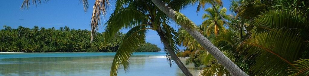
The Solomon Islands has been called the last Paradise on Earth. In addition to containing one of the most friendly and peaceful populations of the planet, the Solomon Islands offers an amazing array of natural wonders. Nowhere on earth will you find the variety and immense possibilities to see earth in its natural splendor. The Solomon Islands are made up of more than 990 islands, which together cover a land mass of 28,000 square kilometres.
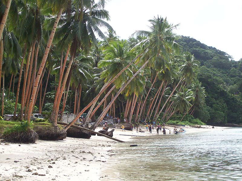
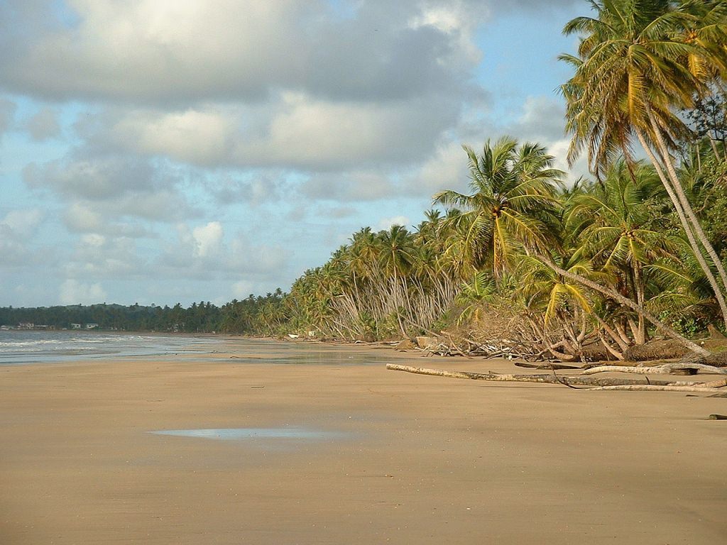
The main islands are Choiseul, Guadalcanal, Santa Isabel, San Cristobal, Rennell and Bellona, Malaita and New Georgia. Volcanoes with varying degrees of activity are situated on some of the larger islands, while many of the smaller islands are simply tiny atolls covered in sand and palm trees.
The Solomon Islands are far more accessible than perhaps imagined. With non-stop service from Los Angeles to Fiji, one more flight and a little adventurous spirit will reward you with a South Pacific destination that is truly off the beaten path. Located a few degrees off the equator, the Solomon Islands are a tropical destination. A Japanese stronghold in World War II and home of the famous Battle of Guadalcanal, the Solomon Islands now offers the traveler a rich nature, adventure and cultural vacation destination and filled with World War II history. These islands are rapidly being discovered for their world class diving opportunities.
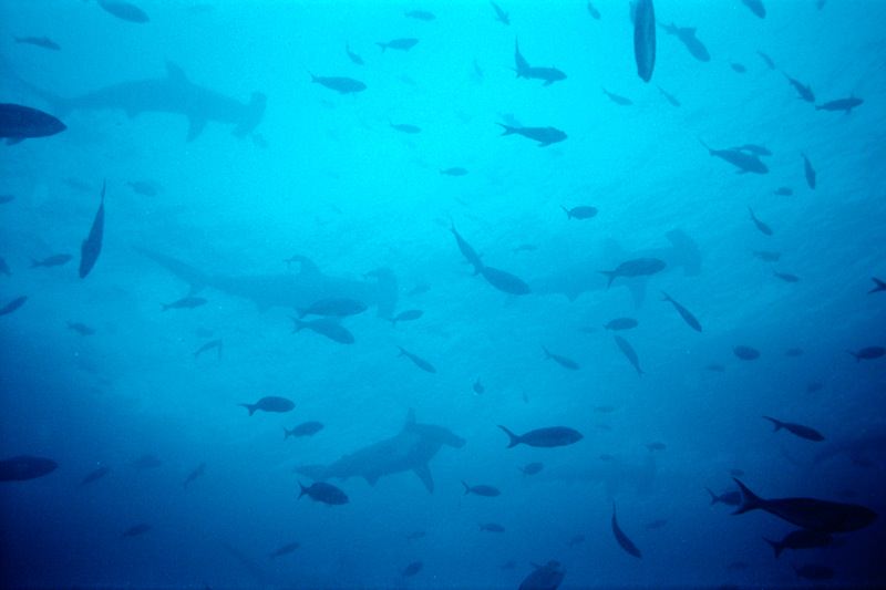
The lush green beauty and the colorful, tranquil water surrounding these islands is unsurpassed. The friendly, quiet manner of the Solomon Islanders with their shy beetlenut stained smiles will warm your heart. And the diving is spectacular. The 86 degree water teems with life in every color and shape imaginable. There are walls, caverns, sloping reefs and wrecks. There are BIG fish and little creatures. Imagine a pod of dolphin playing in the lagoon; baby sharks scampering just out of reach; schools of baitfish skimming the waters’ surface.
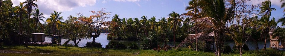
After diving, there was Solbrew (local beer), good food, safe water to drink and comfortable accommodations. In between diving there were island explorations and beach combing. A visit to sacred Skull Island, ancestral shrine for the once cannibalistic people of Roviana is a must. There are a variety of cultural tours to visit native villages and walking itineraries to see nature?s touch. Bird watchers will enjoy the Solomon Islands.
Uepi Island Resort – The most remote, yet the most elegant in a rustic way. Reaching Uepi Island requires a flight to Seghi, followed by a 45 minute open boat ride to the island resort. One of many islands bordering Maravu Lagoon, a stay at Uepi is a very lesson in relaxation. Opportunities for native village tours are many and the wood carvers of the area are famous for their excellent work. The snorkeling off the island?s shore is unsurpassed. The diving is awesome. The food is excellent. Evenings dockside watching the flashlight fish splash turquoise while the Southen Cross shines in the starlit sky is simply magical.
Other islands well worth a visit include Gizo. There are two dive operators servicing this island and a choice of accommodation. The Gizo Hotel with its full service restaurant and air conditioned rooms is conveniently located on the waterfront, or the quaint family run Paradise Lodge located on the hilltops above town are two options. The wreck of the Tao Maru, a Japanese cargo ship that was sunk by the Americans during World War II, is a signature dive of the Gizo area. Other well know reefs include Grand Central Station and Yellow Elbow
Munda is yet another island resort. More of a village for the Roviana people than a town, there is a well-established dive operation associated with the one accommodation choice – Agnes Lodge. While offering basic accommodations, Munda is one of the best areas for nature and cultural tours, as well as excellent diving and snorkeling
The Soloman Sea is a beautiful live-aboard dive vessel catering to 10 divers in individual double occupancy cabins. Frequently the choice for American Divers, a live aboard will offer a more diver dedicated option. Yet, The Solomon Sea allows for cultural interaction in the remote native villages. Or combine a week on the boat with a land based itinerary for a complete Solomon Islands experience.

