Costa Rica Luxury Tour Vacations
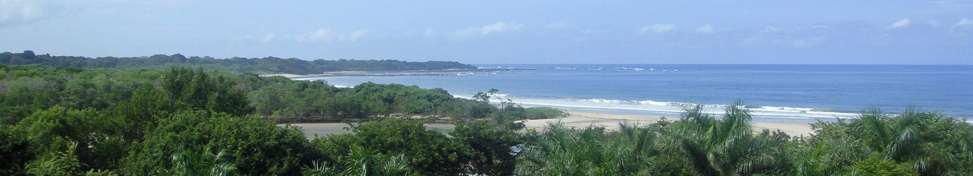
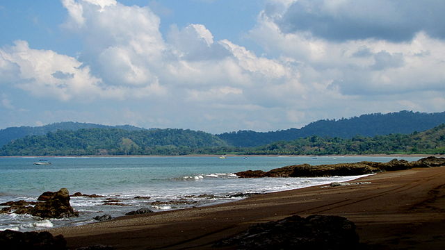
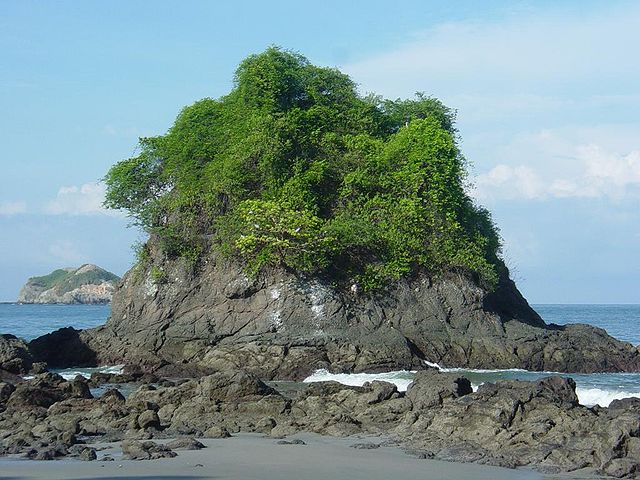
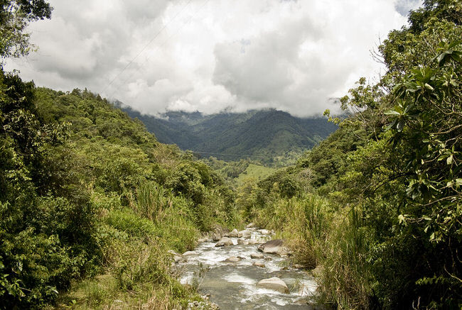
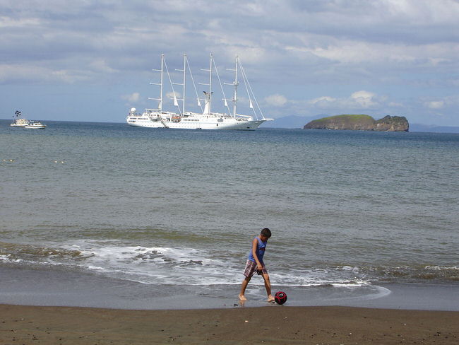
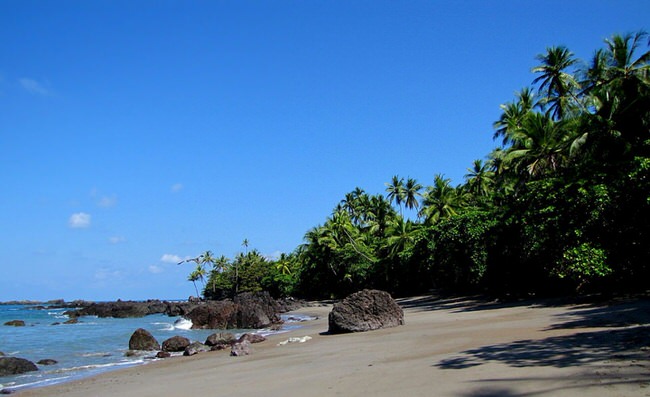
Costa Rica is an exceptionally stunning country with a variety of landscapes, activities and accommodation options, making this Central American country a very popular vacation destination. Visitors will find a lush landscape, numerous parks and reserve, beautiful beaches both on the Pacific as well as Caribbean coast.
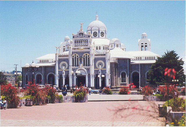
San Jose is the capital city and where most flights arrive. This is a very interesting city with loads of attractions. Its also in the center of the country so a convenient place to begin your vacation and enjoy the cultural and historic attractions.
Travel confidently, use our Virtuoso, Costa Rica Travel Advisors. We do everything for you: air, car, hotels, transfers and tours that include free room upgrades, extraordinary airfare deals and luxury touches that will maximize your enjoyment. Get priceless vacation information. It will help us to help you, if you begin with our vacation planner so we can match you to our Costa Rica expert that suits you best.
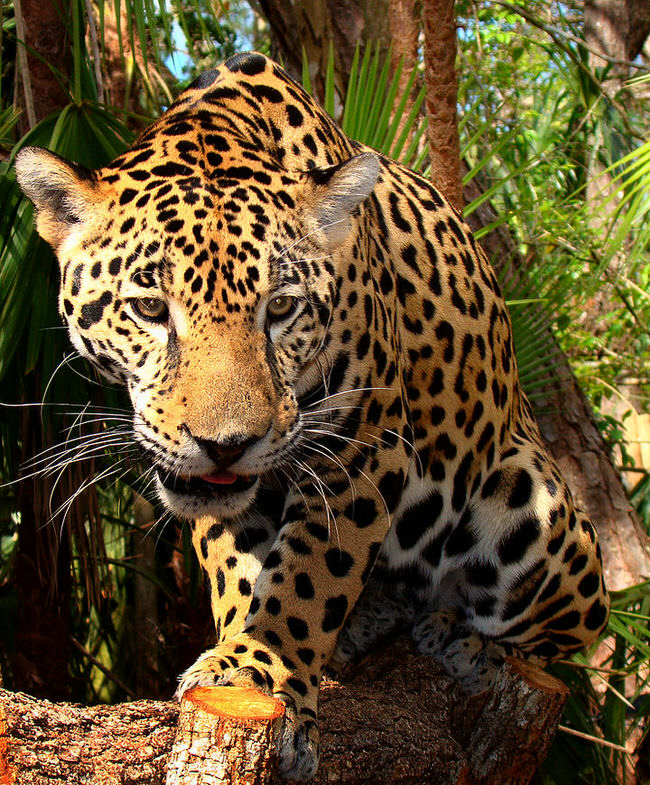
The exciting activities found in Coast Rica run the gambit from bird watching to white water rafting and everything in between. Adventure travelers will be pleasantly please with the variety of thrilling adventures. Surfing, boating, deep sea fishing, hiking the Costa Rica’s National Parks, horseback riding, zip lining, river rafting, and enjoying the numerous beautiful tropical beaches are some of the most popular activities.
We offer a variety of hand picked escorted tours, luxury cruises, sailing adventure, adventure vacations and cruises. Accommodation options range from all inclusive resorts to luxury boutique hotels or even Eco lodges. We have exclusive access to the top travel deals, honeymoon packages and family vacation specials. Our Virtuoso Travel Advisers visit Costa Rica frequently and can help you design the perfect vacation. Call us at 1 415 827 4981 to start planning your next getaway, today.


