Honduras
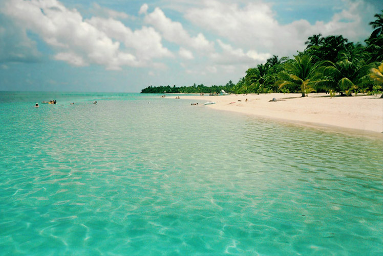
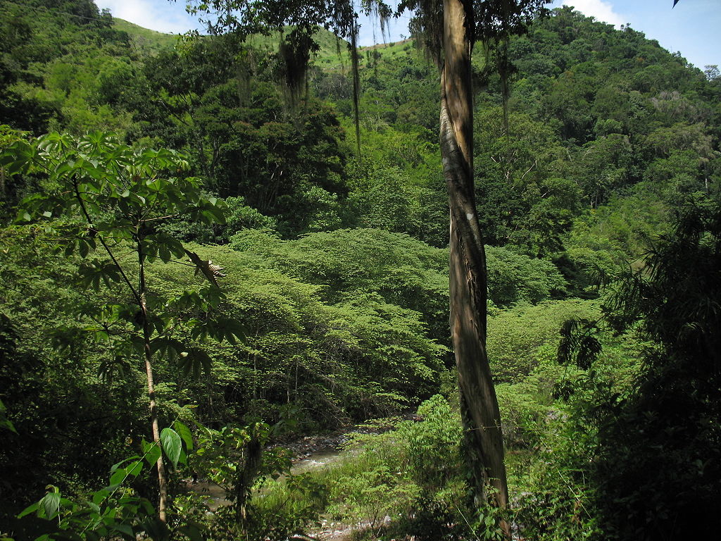
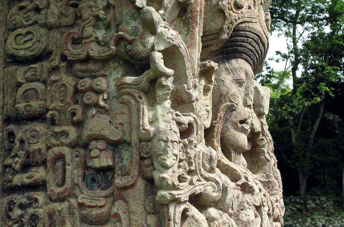
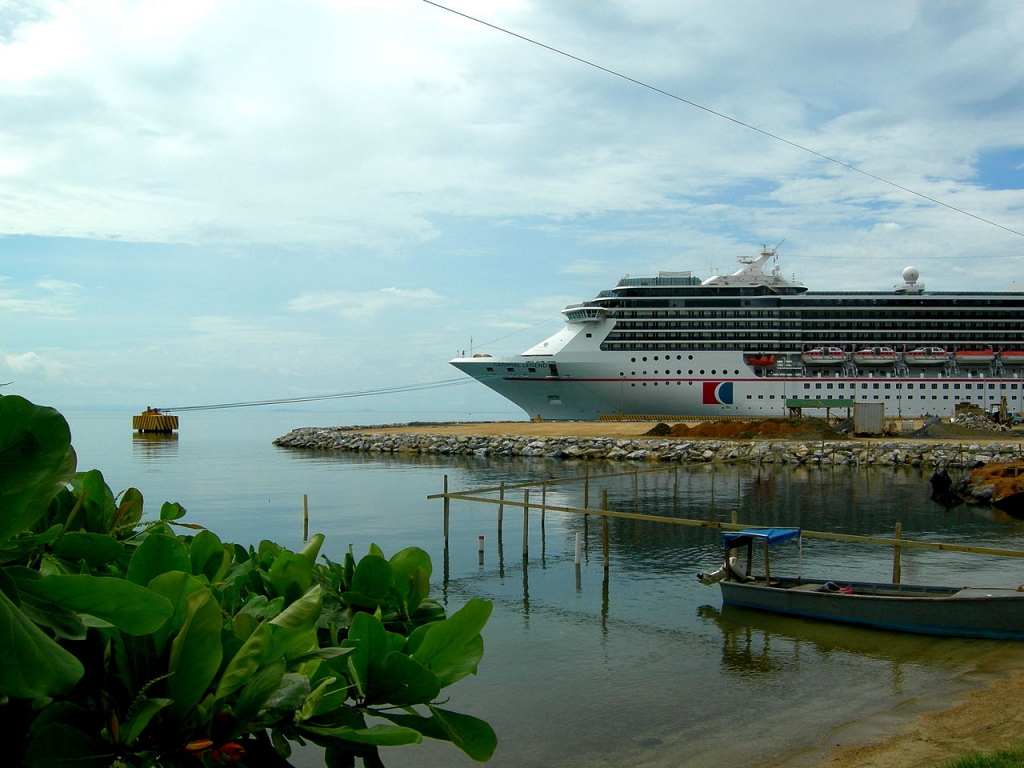
Honduras is blessed with incredible landscapes, towering mountains, active volcanoes, beautiful beaches, pristine, turquoise waters, verdant jungles, incredible history and diverse cultures.
The capital of Honduras is Tegucigalpa. It got its strange name from the ancient Nahuatl language, and translated means “silver mountain. Tegucigalpa began during colonial times as a mining center. The locals call it affectionately call it “Tegus”, a mix of an old colonial city that has turned into the modern capital of Honduras. Now, Tegucigalpa has became the most important mining center in Central America during colonial times.
Searching for inspiration? Our Virtuoso, Honduras Travel Advisors will make planning fun, save you lots of time, stress and mistakes. We do everything, air, car, hotel, transfers, etc. It helps us help you if you begin with our vacation planner and we’ll connect you to the appropriate travel advisor who not only knows your destination intimately, but will handle all the details, get you great airfare deals, car, transportation, tours–you name it.
Tegucigalpa has a very nice climate. Tegucigalpa is in a valley at about 3000 ft making its climate ideal. A gateway into Pacific coast, as well as to the numerous attractions that are located in central and southern Honduras.
Originally, two separate cities, Tegucigalpa and Comayaguela have grown into one big city. The Choluteca river is still the official boundary between the sister cities, and Tegucigalpa is by far the better of the two. The majority of colonial buildings and higher end neighborhoods being located within its boundaries.
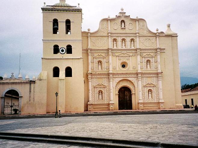
Today, both cities have been officially joined, sharing the same city mayor, etc. The commercial heart of Tegucigalpa is located within the Boulevard Morazan, a modem bustling district also known as “A Zona Viva”. In this area you will find many of the restaurants, shops and offices of the higher echelon of all Honduras. In addition to this pleasant area, you will also find the old historical center of town very interesting. Within the Historical center you will find old buildings, such as the Cathedral, dedicated to the patron saint of Tegucigalpa, Michael Archangel.
Built between 1765 and 1782. Another old church is the Iglesia de Nuestra Seniora de los Dolores is located only a few blocks from the Central park. This church is living proof of the importance that Tegucigalpa had during colonial days as a mining center.
During the XIX century these buildings housed the National University of Honduras, and today it houses the Museum of the Honduran Man, known in Spanish as the “Museo del Hombre Hondureno.” The Manuel Bonilla Theater, whose interior decoration was inspired from the Athenee Theater of Irruis.
The “Museo Nacional Villaroy”, home of Don Julio Lozano Diaz, one of the late presidents of Honduras, houses an interesting collection of artifacts during back from pre Colombian to contemporary times. The old presidential house, which dates back to the beginning of the century houses a new Museum depicting the lifestyles of the country’s presidents.
Dominating the valley below, the” Parque de La Leona” as well as the “Parque de Las Naciones Unidas” or United Nations park offer green pockets where the locals enjoy their days off. In addition, the “Pariue de ‘a Concordia” offers you replicas of Mayan temples in miniature size. Getting to the above mentioned parks can be tricky, however, taxis are plentiful in Tegucigalpa and these are not expensive, and will usually run under 15 lempiras for a trip. It is however a good idea to negotiate the rate before you use the service.
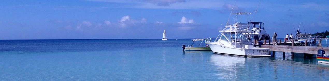
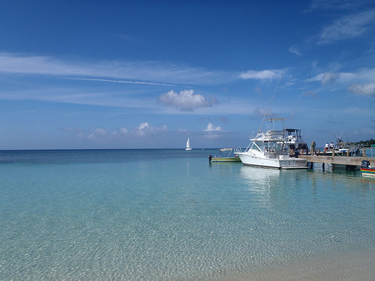
Rustically elegant by design, natural wood bungalows are nestled along the edge of a palm-fringed peninsula dividing a tranquil mangrove lagoon and the warm Caribbean Sea. Dive into crystalline, sapphire blue waters where living coral rainbows proliferate in all the underwater splendor famous to the Bay Islands.
