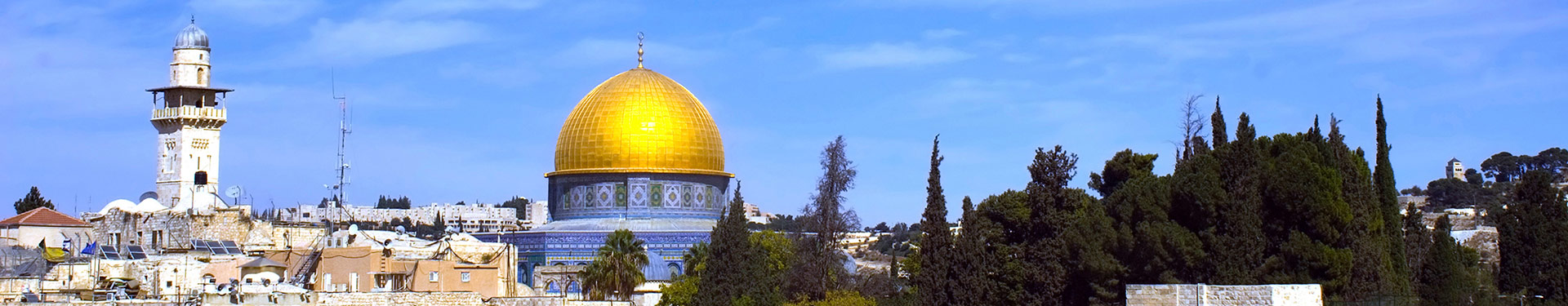
Middle East
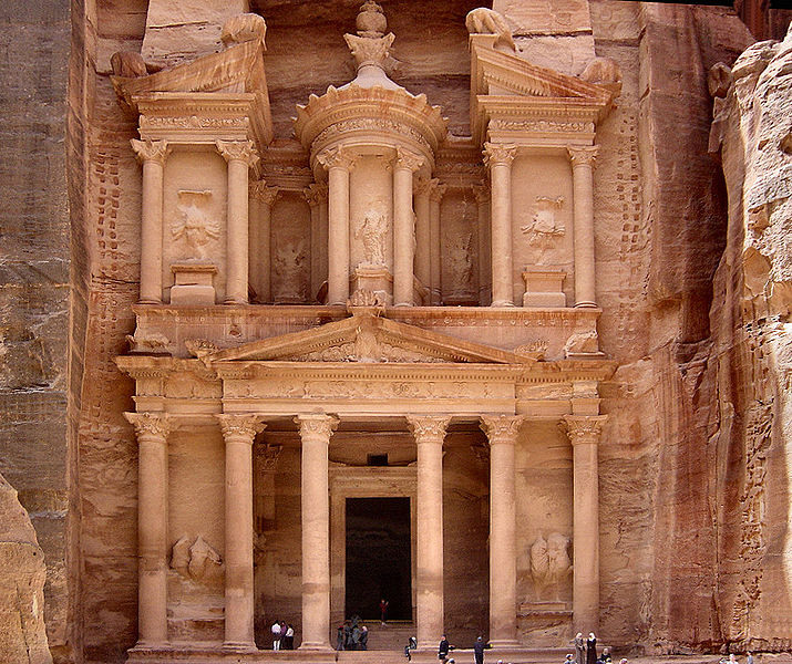
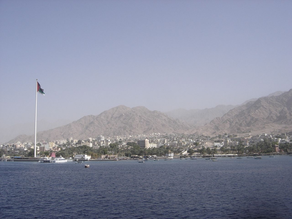
The term Middle East refers collectively to Egypt, Iran, Iraq, Israel, Jordan, Kuwait, Lebanon, Saudi Arabia, Syria, Turkey, Yemen, Cyprus, and the states and emirates along the southern and eastern fringes of the Arabian Peninsula, namely, Bahrain, Oman, Qatar, and the United Arab Emirates.
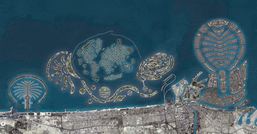
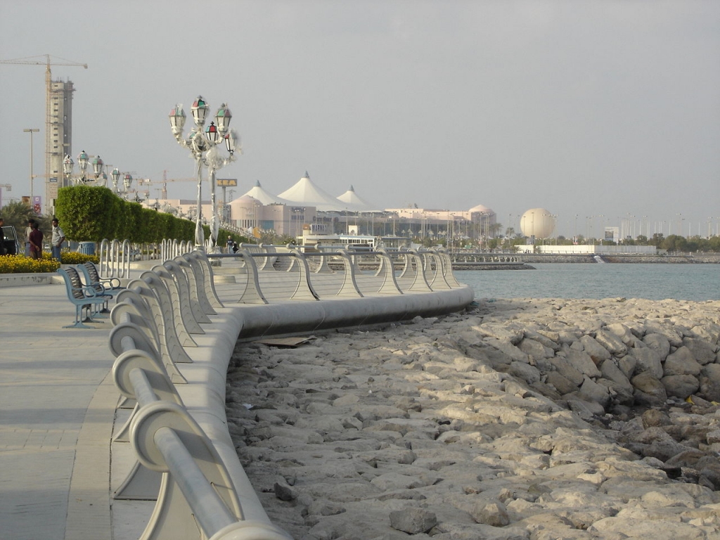
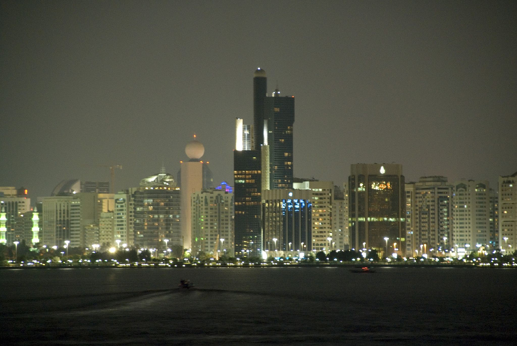
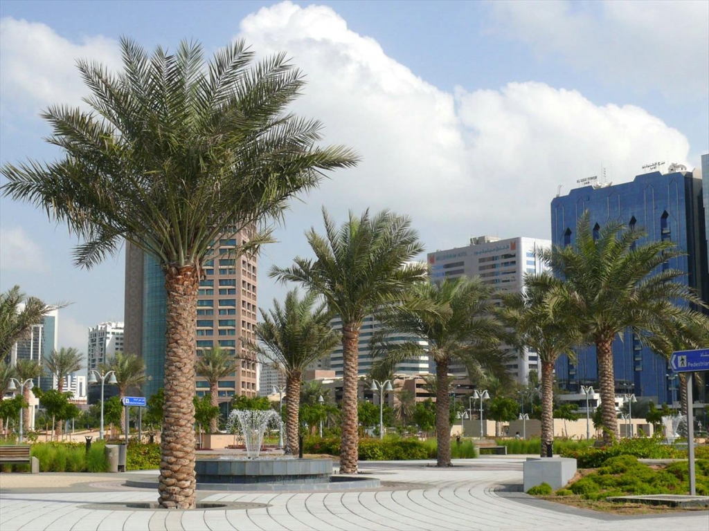
Dubai is a very important crossroads of East and West, Dubai has always been one of the world’s great trading centers. Today it has become a transportation hub for travelers to Africa, the Middle East and the Indian sub-continent. With Emirates’ new non-stop service from New York, the possibilities are endless. Combine trips to India, the Maldives or the Seychelles with a desert retreat. Gleaming skyscrapers and shopping malls jostle for position with Arab souks, mosques and traditional wind towers. Along the coast are excellent hotels, pristine sandy beaches and warm blue waters – the perfect setting in which to relax and escape the vagaries of winter weather.
It helps us help you to get connected to our Virtuoso, Middle East Travel Advisors if you start with our vacation planner, then we can assign our most appropriate destination specialist to you. Then you will save loads of time, stress and avoid costly mistakes, get great international airfare rates, luxury amenities, special touches and privileged access.
The range of leisure options is unparalleled: experience the thrill of dune driving or camel riding; play on one of Dubai’s four world-class golf courses; enjoy a dhow cruise or desert safari; shop to your heart’s content or try scuba-diving, sailing or game fishing. Other Arab countries which are not geographically part of the Middle East, but are nevertheless, integral parts of the Arab World: Sudan and Djibouti in East Africa, Libya,Tunisia, Algeria, Morocco, and Mauritania in North Africa.


