Peru Luxury Tours and Vacations
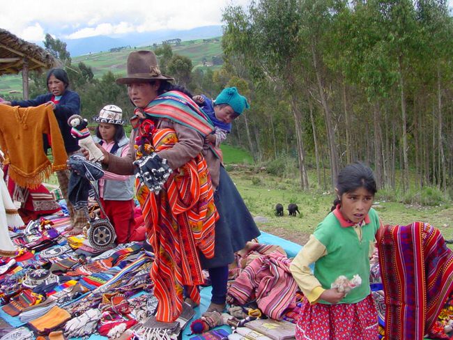
Peru has an astounding amount of enchanting ancient sites that will thrill culture buffs for archaeological fans and adventure seekers alike. Cusco, a fascinating city build on top of an important Inca city, is a great destination that should be combined on a Peru tour. Archaeologists just uncovered an amazing temple the was build before the Inca Empire was established. The temple was unearthed next the the renowned Sacsayhuaman Fortress and has a maze of rooms that most likely was a burial place.
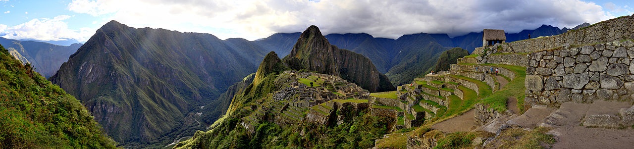
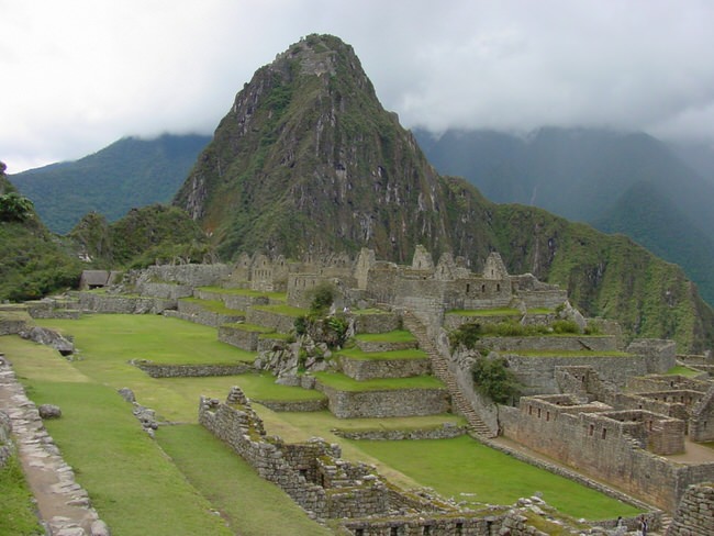
Machu Picchu is known as the Lost City of the Incas. We visited Machu Picchu and agree, it is every bit as extraordinary as you have heard, a fantastic stone complex built way high up in the mountains, and frequently bathed in misty white clouds that makes it seem even more mysterious.
Looking for a fascinating experience? You can benefit from our Virtuoso, South America Travel Advisors experiences, they know Machu Picchu and can get you free upgrades, superior international airfare and added touches that will provide you a vacation experience of a lifetime. It helps us help you if you begin with our vacation planner, then we can connect you to the advisor that is most suitable for you. Machu Picchu is a must see for any serious traveler interested in the enigmatic.
Machu Picchu was just named one of the seven wonders of the world, and one the most incredible places on earth. It is perched on the eastern slopes of the Vilcanota mountain range, a chain of mountains curtailed by the Apurimac and Urubamba Rivers. At latitude 13 degrees 7′ south and longitude 72 degrees 35′ West, Machupichu is situated at a height of 2,350 meters above sea level.
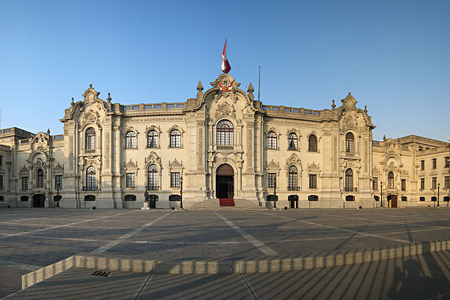
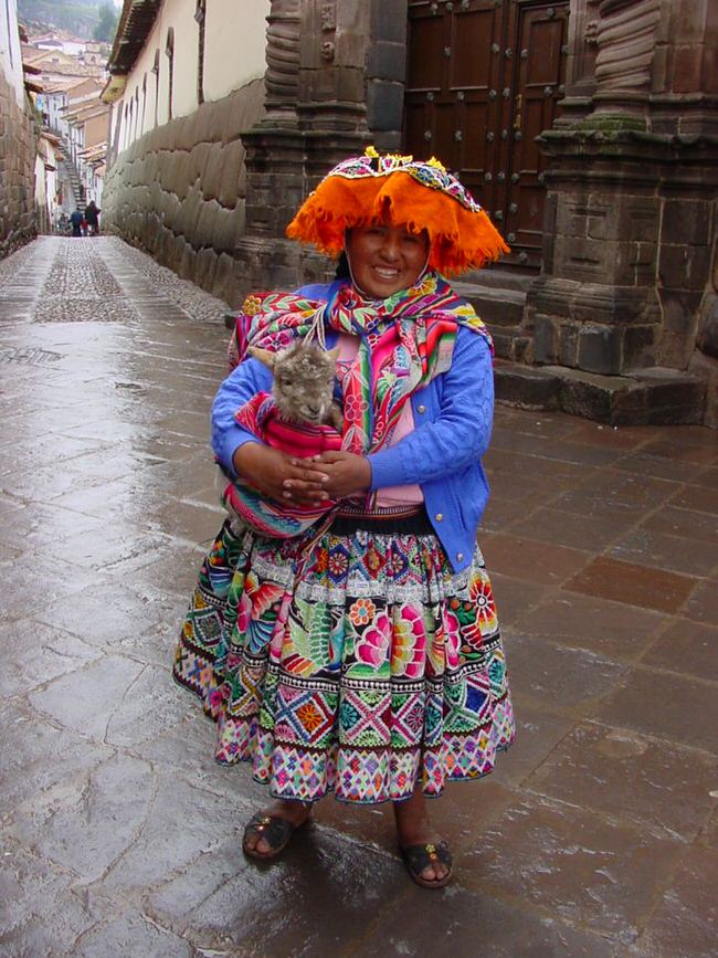
However, vacationers may not realize is that there is way more to Peru than Machu Picchu, for instance, the bustling streets of modern Lima, the ancient colonial cobblestone charm of Cusco, and the scenic villages and lofty views that can be found in the mystical Sacred Valley are just a few of the highlights that await visitors.
