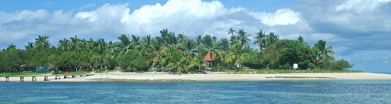
Tonga
Tonga on a South Pacific map is just west of the international dateline were it meets the Tropic of Cancer. From the Island of Niuafo’ou in the north Tonga stretches nearly 1000 KM’s to the Minerva Reef in the south. Tonga consists of 171 islands, spreading over 700,000 square kilometers of the South Pacific. The countries total land area is 290 square miles (750 square kilometers) located between latitude 15 to 23 S. & longitude 173 to 177 W.
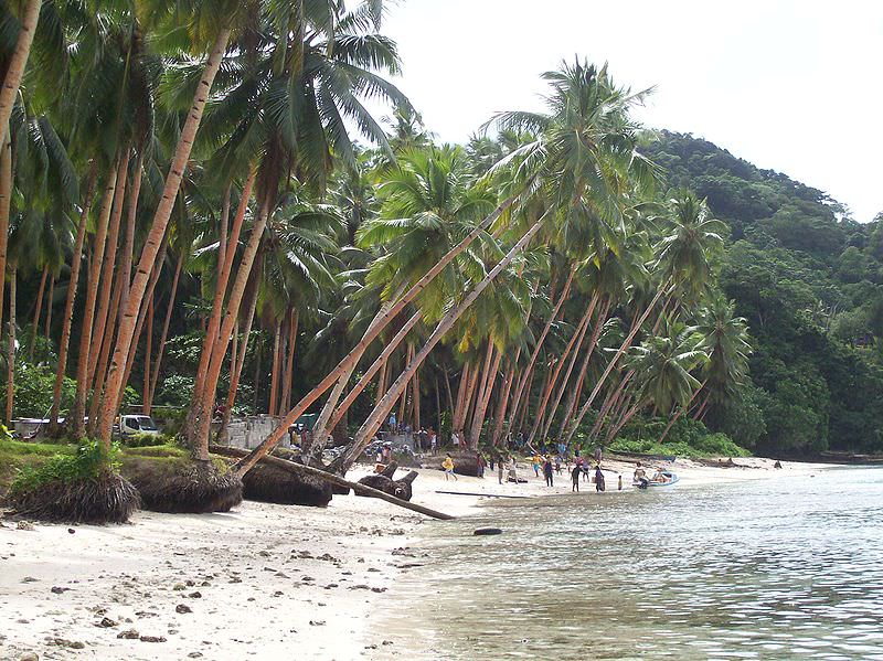
Only 45 of its islands of the 171 islands are inhabited. The countries population is about 100,000; and about two thirds of its inhabitants live on the island of Tongatapu.
Tonga lies about two-thirds of the way from Hawaii to New Zealand. The largest island, Tongatapu, is approximately 1,245 miles (2,000 kilometers) northeast of Auckland, N.Z .
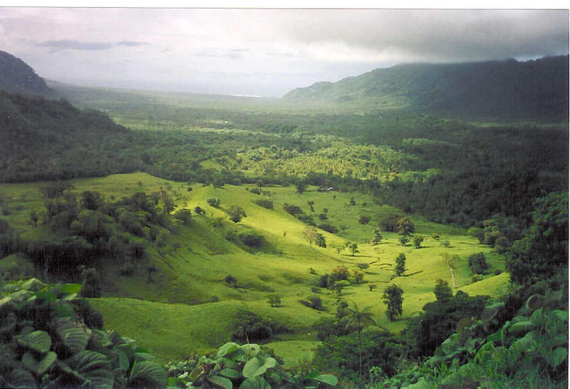
Tonga’s inhabited islands form four groups. Each group provides a distinctly different experiences to the visitor. From the hub of the capital Nuku’alofa on Tongatapu in the south; to volcanic and coral islands of the Ha’apai group; to the picturesque waterways of the Vava’u archipelago. and to the remote volcanic Niuas in the far north.
