


Africa Safari Tours
Creating the Perfect Safari Adventure for Affluent Families
Are you ready to embark on the ultimate adventure with your family? A safari is a year-round experience that provides a unique opportunity to witness the majesty of nature up close. However, families with a taste for luxury often wonder about the best time to visit and which region to explore.
While the peak season for spotting safari creatures is typically between June and September, and around the December holidays, there’s plenty to see and experience year-round. The period before or after the annual rains is a magical time. The plains are at their verdant peak, and the bush is alive with action as animals of all kinds give birth. These conditions make for Instagram-worthy photos, and you’ll have the opportunity to witness nature’s beauty in its full glory.
The next question affluent families often ask is whether to explore East or Southern Africa. Both regions have their unique charms, and the choice comes down to what you hope to experience during your safari adventure.
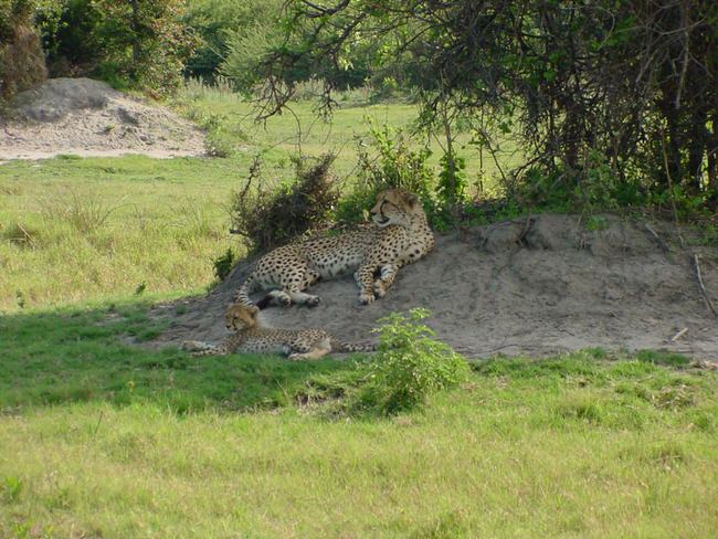
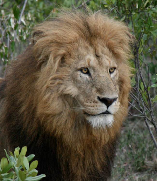
East Africa offers the opportunity to witness the Great Wildebeest Migration in the Serengeti, which is one of the world’s greatest natural spectacles. You can also explore the Ngorongoro Crater, where you’ll have the chance to spot the Big Five – lions, elephants, leopards, rhinos, and buffalo – in a single day.
Southern Africa, on the other hand, is home to a diverse range of wildlife, including the Big Five, and offers the opportunity to experience unique landscapes such as the Okavango Delta in Botswana. South Africa also provides an opportunity to witness the great white shark in its natural habitat.
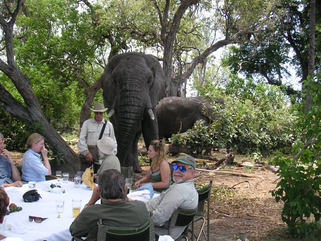
At TravelWizard.com, we understand the unique needs of affluent families seeking the ultimate safari adventure. Our team of luxury travel advisors will work with you to create a bespoke itinerary that meets your every need, from accommodation to transportation and more. We have a proven track record of providing exceptional experiences that exceed our clients’ expectations.
So why wait? Contact us today and let us create the perfect safari adventure for your affluent family.
It helps us help you if you begin with our vacation planner so we can match you with our travel advisor that knows your destination best. You will enjoy our exclusive insider connections and expertise on Africa vacations.


